
Wisconsin Enterprise Drone Services

SEE MORE.
RESPOND FASTER.

Professional thermal imaging, recovery, inspections, mapping and aerial documentation using a growing fleet of enterprise-grade drone systems.

FAA Part 107 CertifiedEnterprise Drone FleetThermal + Zoom ImagingWisconsin Based
THERMAL IMAGING

See what others can't.

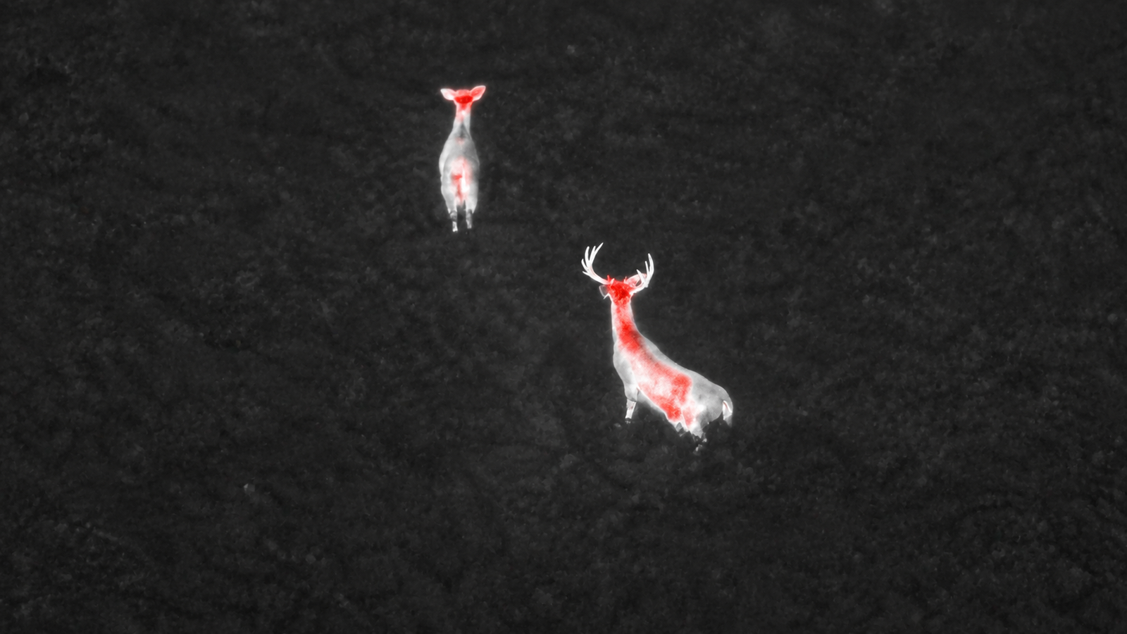
Drag to reveal how thermal imaging detects wildlife hidden in low-light conditions and dense cover.

Thermal aerial view of deer Visible aerial view of deer
VISIBLE
THERMAL
Enterprise Capability

A professional fleet built around the mission.

We select the right aircraft, sensor and workflow for each assignment. Our equipment strategy is not tied to a single drone model, allowing us to expand capabilities as the business and client needs grow.

Thermal ImagingVisualize heat signatures and temperature differences.
High-Resolution VisualCapture detailed documentation and inspection imagery.
Zoom & Low-LightSupport safer stand-off inspection and challenging lighting.
Mapping & ModelingProduce repeatable site records, maps and 3D-ready data.
How It Works

From first contact to usable results.

Clear communication keeps the mission safe, efficient and focused on the result you need.

01

Tell us about the job

Send the location, urgency, access details and desired result.

02

We plan the mission

We review weather, airspace, safety, legality and the best flight plan.

03

Flight and delivery

We capture, organize and deliver useful imagery or documentation.

Project Gallery

Built to showcase real work.

The framework is ready for your thermal captures, maps, inspections, storm documentation and recoveries.